Michigan Geography
GoalsStudents will be able to:
1. Use cardinal directions (N, S, E, W) 2. Use thematic maps to identify and describe the physical and human characteristics of Michigan 3. Describe way in which Michigan can be divided into regions 4.Describe different regions to which Michigan belongs. (Great lakes Region, Midwest, etc.) 5. Locate natural resources in Michigan 6. Describe major economic activities in Michigan and the factors influencing their location |
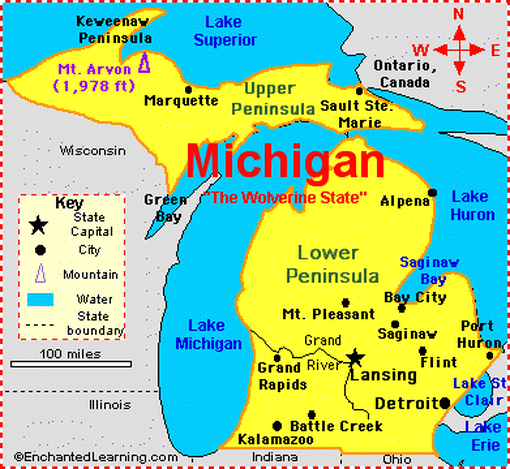
A political map of Michigan shows large cities and our state's capitol, Lansing. Also labeled on this map are the Great Lakes as well as Mt. Arvon, Michigan's highest point.

This map labels all of Michigan's largest rivers. It also outlines all of the counties in Michigan.
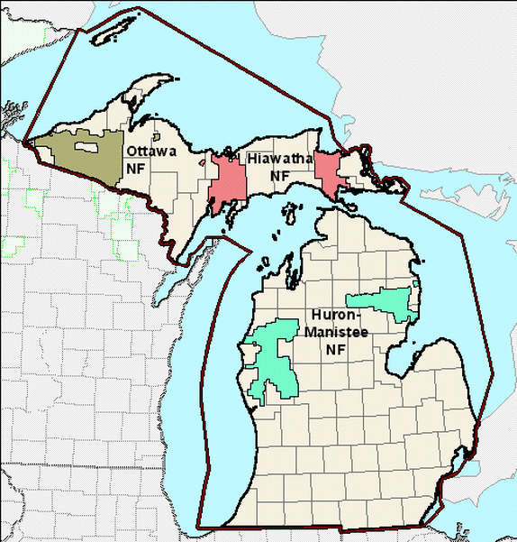
Michigan's National Forests are labeled on this map: Ottawa National Forest, Hiawatha National Forest, and the Huron-Manistee National Forest.
|
|
|
|
|
|
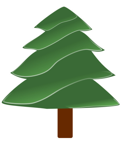
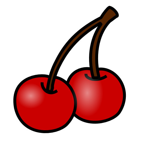
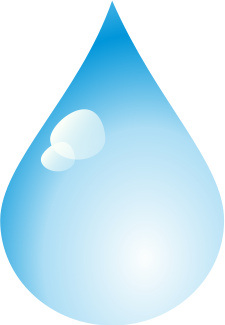
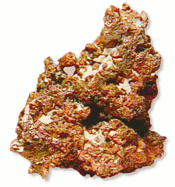
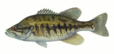
Some of Michigan's famous Natural Resources are shown above:
lumber, cherries, fresh water, copper, and fish.
lumber, cherries, fresh water, copper, and fish.
Photo Credits:
"Michigan" Jan 31, 2002 via Enchanted Learning, Creative Commons Attribution
"Natural River Maps" via DNR, Public Domain
National Forest Map, USDA Forest Service, Public Domain
Phillip Martin "Evergreen," "Cherries," "Water Drop," "Copper," "Fish Photo" Creative Commons Attribution
